The Skyline Does Not Tell the Whole Story
Use the skyline as a first clue, not a verdict. Read the streets, edges, and everyday connections that give a city district its character.
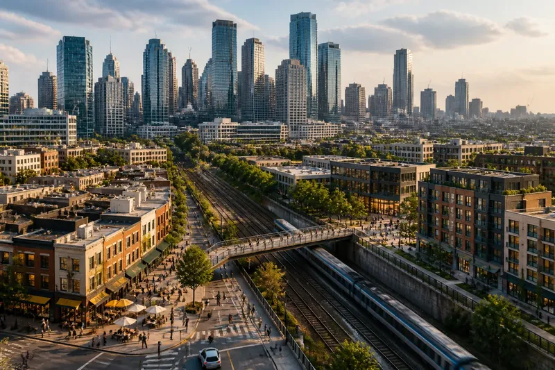
The common mistake in reading a city is to treat its tallest buildings as a portrait of the place. A skyline-first judgment can hide the districts where daily life happens, leaving you with a striking image but little sense of how the city works. The skyline is a useful clue, not a complete account of urban character.
To read beyond it, shift your attention from the distant outline to the parts of the city that shape ordinary movement: block edges, ground-floor uses, public spaces, and barriers. These details can explain why two districts with similar towers feel very different.
What can a skyline tell you, and what can’t it?
Building height can suggest where development is concentrated, where land may be constrained, and which structures serve as visual landmarks. A distinctive outline can also help you orient yourself from a distance. But it cannot show whether streets are welcoming, whether entrances face public space, or how easily neighboring areas connect.
A cluster of offices may rise beside low-rise housing, workshops, markets, or civic buildings that barely register from a distant viewpoint. Even within the cluster, the skyline says little about active sidewalks or useful links to surrounding districts.
Think of a skyline as a book cover: it hints at the subject, but it cannot show how the chapters fit together. The city’s less visible structure lies between its landmarks, in block edges, street-level activity, crossings, and paths through the day.
Which view fits the question you’re asking?
If you want to understand where people gather, what should you look at?
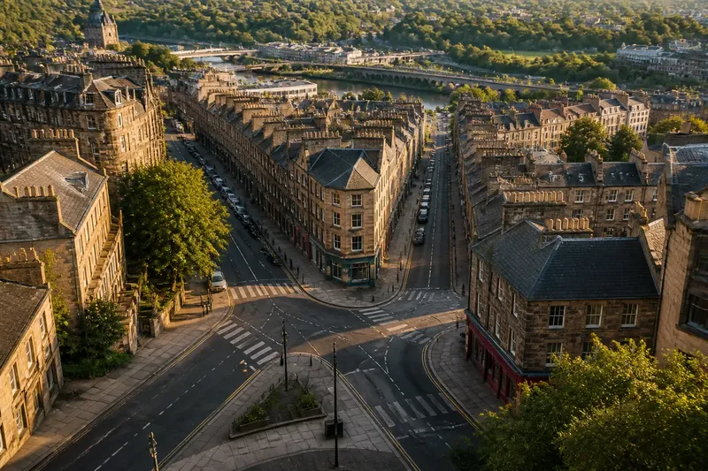
Look for activity at street level rather than assuming a tall building creates a lively public realm. Notice where shops, food counters, libraries, transit entrances, and building lobbies meet the sidewalk, then see whether people can move between them directly.
If you want to compare two districts, what matters more than height?
Compare block shapes, destinations, and the continuity of public routes. A modest district may feel connected when its streets lead to useful places, while a taller area may feel inward-facing if large sites interrupt those routes.
If you want to understand a landmark’s influence, where should you start?
Look at its edges and public approaches. Ask whether streets lead toward it, whether people can pass through the surrounding area, and whether nearby uses remain active beyond the main entrance.
If you have only seen a city from a distance, what is the next useful view?
Choose a street that crosses from the prominent skyline area into a neighboring district. Watch how building height, entrances, traffic, and public routes change across that boundary; the transition can reveal more than another panorama.
How do you read a district without following another route?
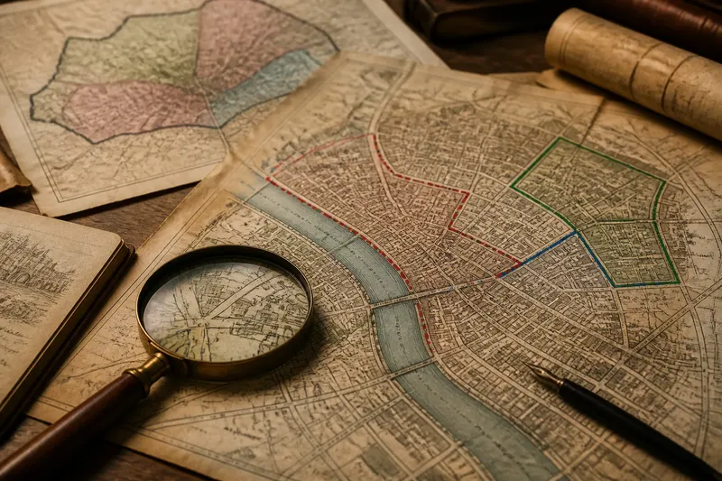
Instead of tracing a path between a landmark and a destination, compare a compact set of visible features from one vantage point or map view. This keeps the focus on the city’s form: how buildings meet open space, where district edges appear, and what changes from one block to the next.
Look for boundaries such as a rail corridor, wide road, institutional campus, or fenced development. Then note whether streets and public spaces meet those boundaries or stop at them. A small passage, bridge, or active commercial frontage can soften an edge; a blank wall or closed site can make nearby places feel separate.
Also notice repetition. Similar shopfronts, entrances, street trees, or civic uses can give a district a recognizable everyday rhythm even when buildings vary in height. Repetition does not mean every block is identical; it means the area has patterns a visitor can recognize.
What should you check before describing a district?
- Building profile: If one tower dominates the view, describe its prominence without assuming it represents the whole district; if the skyline is varied, note the contrast between building types.
- Ground-floor edges: If doors, windows, or shopfronts face public space, describe that active edge; if walls or service areas dominate, note the less engaging boundary.
- Public-space connections: If plazas, sidewalks, or passages meet one another, describe the continuity; if access stops at a fence or large site, identify the break.
- District boundaries: If a road, rail line, or campus separates areas, describe how it shapes the edge; if crossings or openings link the sides, note those connections.
- Everyday uses: If shops, schools, or civic services appear among other uses, describe the mix; if one use dominates, name that pattern without treating it as the whole city.
- Street pattern: If blocks and streets continue across the district, describe that continuity; if streets end or turn away, note the interruption and avoid calling the areas connected based only on proximity.
How can you describe a district without letting the skyline decide?
Say you see a cluster of glass office towers beside a low-rise neighborhood. From a map, you note a rail corridor between them, a public bridge over the tracks, and a small plaza near the bridge entrance. You then compare the visible edges: if the plaza and bridge connect to streets on both sides, describe the districts as linked by a specific public crossing; if the bridge is closed to general access or ends at a fenced site, describe the corridor as a separating edge instead. The resulting description is based on observable form, not on the towers’ appearance alone.
For a concise account, name the visible form, identify what occupies the street or public-space edge, and describe one connection or barrier. For example: “A tall office cluster rises beside low-rise homes; a rail corridor separates them, with a public bridge linking the adjacent blocks.” This gives a reader a landmark, a ground-level pattern, and a relationship between places.
The skyline remains useful, but it should start an inquiry rather than settle one. To read a city district, pair its distant outline with what you can observe about its edges, public spaces, and everyday uses. The search phrase skyline does not tell the whole story is also a reminder to distinguish a city’s most visible image from the structure people encounter at ground level.